Hazard maps based on detailed field investigations and 1D and 2D numerical
simulations.
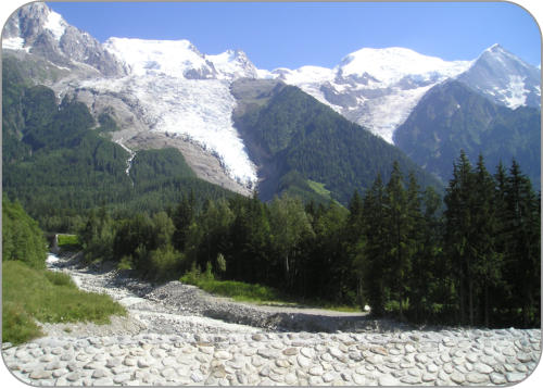
Flood hazard mapping of Arve and Rhône River in Geneva (2008-2011, Canton Geneva)
Flood hazard mapping of Seymaz River (2010-2012, Canton Geneva)
Hazard maps based on detailed field invesitgations and 1D and 2D numerical
simulations.
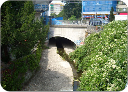
Flood hazard mapping of Allondon River (2012-2014, Canton Geneva)
Flood hazard mapping of Verbois and Chancy-Pougny Reservoirs (2008-2012, SIG)
Hazard maps based on detailed field investigations and 2D numerical
simulations.
Hazard maps of reservoirs based on 2D numerical simulations.
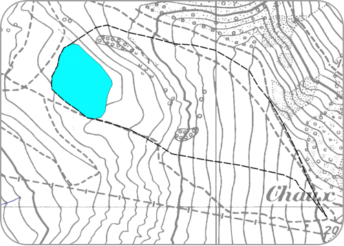
Dam break hazard mapping for the La Chaux Dam (2010, Villars)
Detailed hazard mapping in case of dam break by detailed 2D numerical
modelling.
Dam break hazard mapping for dams in canton de Neuchâtel (2012-2013, Neuchâtel)
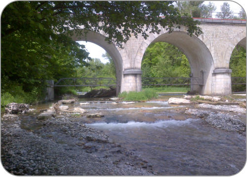
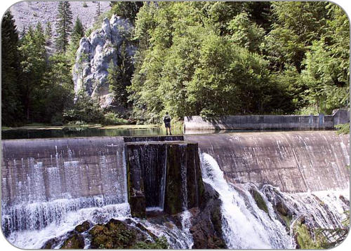
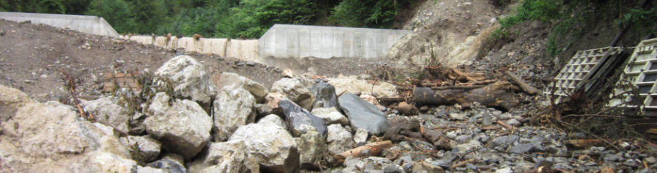
Design of debris flow check dam on the Tinière torrent (2007-2013, Canton Vaud)
2D numerical simulations of debris flows to optimize design of 3 detention dams.


Design of debris flow check dam on the Lizerne River (2007-2012, Ardon)
Detailed hazard mapping for all dams in canton de Neuchâtel.
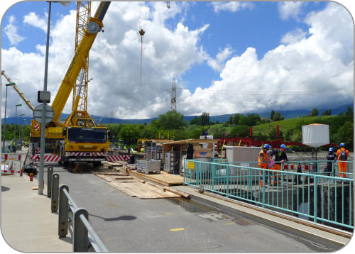
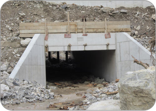
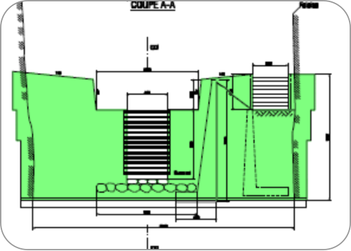
Design of flood deviation gallery through city of Thun (2005-2011, AWA Bern)
Design of flood deviation gallery through city of Lyss (2008-2011, AWA Bern)
2D numerical computations for design of check dam in narrow gorges of the
Lizerne torrent.
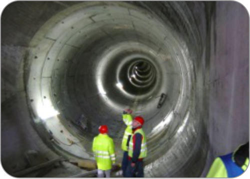
2D and 3D numerical computations for design and optimization of flood gallery of
1500 m length and 4.5 m of diameter.
2D numerical computations for design and optimization of flood gallery of 1’250
m length and 6 m diameter.
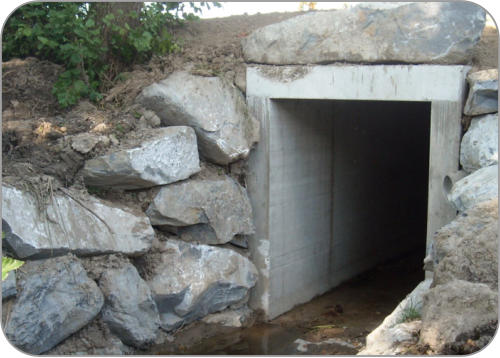
Design of flood deviation gallery at Poliez-Pittet (2005-2011, Canton Vaud)
2D numerical computations for design and optimization of flood gallery of 60 m
length and 2.2 m diameter.